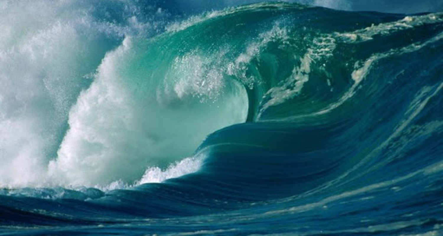
According to a 2019 study, climate change is putting around 50% of the world’s coastlines at risk due to changes in ocean waves. Understanding the impact of global warming on wind and wave conditions is vital to developing effective offshore and coastal resilience, but sometimes just getting hold of data required to calculate these trends is a challenge in and of itself.
Discontinuity on the Water
Ask most people what they consider the obvious data source for long-term oceanic wave observations and they’ll likely point you towards buoys. However, research has indicated that over time, changes in buoys – from the material composing the hulls to the nature of the instrumentation and the processing methods used – mean that the overall data set lacks a necessary homogeneity and is therefore unsuitable for long-term trend analysis.
“Dry-mounted, radar-based instrumentation mitigates many of these issues”, explains Trym Bruset, Data Scientist at Miros, “and presents a viable long-term alternative to buoys. Such sensors can be updated remotely and, in the case of Miros, can last in-situ for decades. They also provide a broader data set, and are more secure as well as more accessible, due to Cloud integration.”
Miros has made use of the same imaging format since the company’s inception, meaning that radar images from as far back as 1984 can be analysed as readily as images made today. This consistency allows for the production of modern results from historical records.
What Did the Data Say?
Professor Øyvind Breivik, who contributed to the aforementioned 2019 study, told Norwegian news outlet Aftenposten that changes in wind systems and the temperature difference between land and sea will impact wave conditions, causing waves and swells to be higher. Since waves play an important role in water level during storms, a factor only exacerbated by global sea level rise, this trend raises further concerns regarding offshore assets, which will be put under greater strain than ever before.
